
Dublin Core
Title
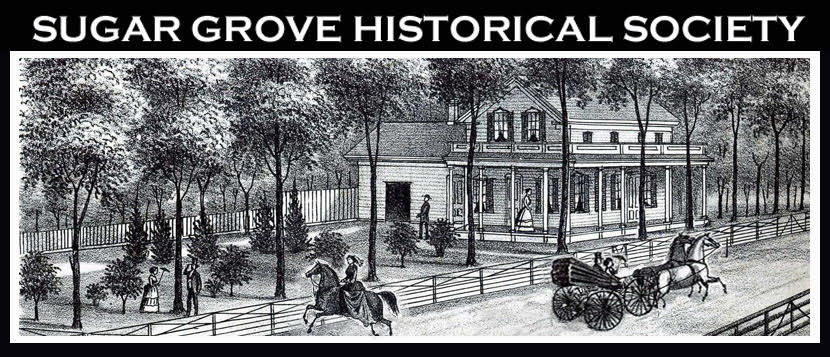
Map from 1871 Atlas showing current Route 30, Route 56, Route 47, and Prairie Street
Subject
[no text]
Description
[no text]
Identifier
[no text]
Date
[no text]
Creator
Kaitlin
Language
[no text]
Rights
[no text]
Format
[no text]
Relation
[no text]
Source
[no text]
Publisher
[no text]
Contributor
[no text]
Type
[no text]
Coverage
[no text]