


Dublin Core
Title
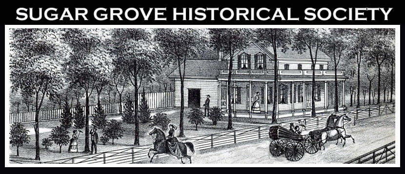
1871 Sketches of Homesteads in Sugar Grove Township
Subject
From 1871 Atlas: "New Combination Atlas, Kane County, Illinois by Thompson and Everts."
Description
Sketches of Following Homesteads were drawn in 1871:
Benjamin, L - Section 19
Bliss, PY - Section 10
Chapman, Henry - Section 8
Cole, F - Section 2
Densmore, HB - Section 14
Fikes, George - Section 25
George, B - Section 24
Gillett, LH - Section 21
Gordon & Brothers - Section 21
Ingham, SS - Section 14
Jones, WG - Section 22
Judd, DC Section 16
McDole, PS - Section 4
McDole, R - Section 11
Paull, CF - Section 34
Paull, SG - Section 16
Price, Wm - Section 5
Seavey, Mark - Section 6
Thompson, John - Section 6
Identifier
[no text]
Date
1871, Sketches were drawn in 1871
Creator
Lisa
Language
[no text]
Rights
[no text]
Format
[no text]
Relation
[no text]
Source
[no text]
Publisher
[no text]
Contributor
[no text]
Type
[no text]
Coverage
[no text]